
The History of Land Surveying
As far back as 1400 B.C., Ancient Egyptians used measuring ropes, plumb bobs, and other instruments to measure the dimensions of plots of land for the purpose of taxation. In fact, the Egyptian pyramid builders remain some of the most famous early surveyors in recorded time. How good were they? The 755-foot base of the Great Pyramid is only a few inches out of square and it remains the only surviving member of the ancient Seven Wonders of the World.
Land Surveying is the process of determining parcel points on a property, as well as the distances between them and thus demonstrating that Land Surveying is just as an important aspect as land ownership.
Many of the founders of this country, including George Washington, Thomas Jefferson, and Abraham Lincoln, were all surveyors. Their work, along with explorers and frontiersmen, helped map and define our land, leading to its habitation and prosperity.
The U.S. Coast and Geodetic Survey was established by an act of Congress in 1807. Initially, its charge was to perform hydrographic surveys and prepare nautical charts. Later its activities were expanded to include the establishment of control monuments throughout the country.
Increased land values and the importance of exact boundaries, along with the demand for public improvements in the canal, turnpike, and railroad eras, bought surveying into a prominent position. More recently, the large volume of general construction, numerous land subdivisions with better records required, and demands posed by the fields of exploration and ecology have entailed an augmented surveying program. Surveying is still a sign of progress in the development and use of the earth’s resources.
Land Surveying in Texas
From its early history, the State of Texas has recognized the importance of the practice of land surveying. The Texas Board of Professional Land Surveying has been an independent Board since 1955. Before that, in 1919, the State of Texas created a board to license State Land Surveyors to provide a pool of qualified surveyors to the Land Commissioner for official surveys to be filed in the General Land Office.
In 1955, the State of Texas created the TBPLS to license and regulate Registered Public Land Surveyors to provide qualified surveyors to survey land for private landowners. These two boards were combined in 1979 to form one board to license and regulate surveyors for the survey of public and private lands.
As you can see, Land surveying has a vast and rich history. You can learn more about the early Spanish and Texas Republic Land Surveying by visiting the Texas General Land Office website.
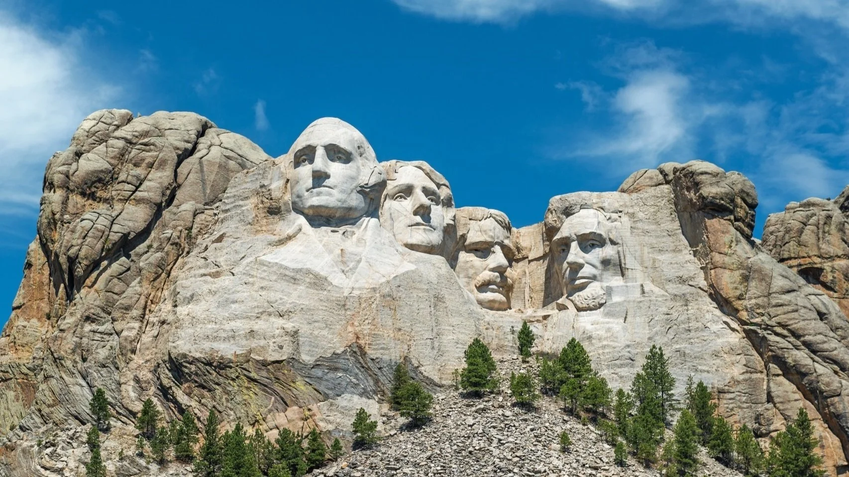
MOUNT RUSHMORE WITH ORIGINAL US SURVEYORS